Posts

Showing posts from October, 2020

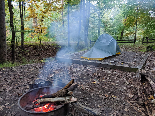
Michaux State Forest Overnighter

Image
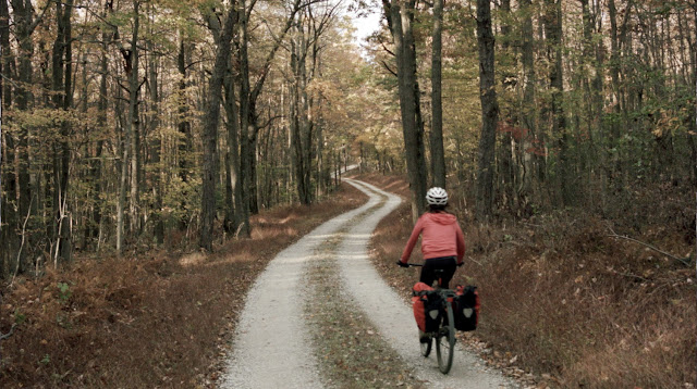
We also made a little video this time. It was a lot of fun and the fall color was on point as usual in PA, with clear sky the first day and misty foggy atmosphere the second day.  Michaux State Forest has many very steep roads. And I don't really know why we added 10 miles just to cross the Maryland border (in the very south end of the map)... I guess we should quarantine because we crossed the border? There are many primitive campsite in the State Forest, many of which are mapped above. Water is ok but there is a lot of riding on the ridgeline with no water in sight.  Mostly gravel (red in the map) and some paved roads (black in the map).

PA Wilds - Moshannon State Forest Overnighter

Image
In the matter of half hour I have seen a gang of elk, a gecko, and a brown recluse spider. The loop: I parked at a truck stop and quickly found my way into various state forests--Moshannon, Queanna, Elk, and Sproul. The fall color here is probably one of the best in the world.  60-70% unpaved, 1% singeltrack. A lot of climbing. Busy town! Wake me up when the pavement ends. Free self portrait. Full color. Not 100% sure if this was open for bikes. It got steep, I had to walk my bike a bit. The red bushy grassy is just so cool. Hunter truck. Sandy roads. A gang of elk. That right there was more than 1% the whole elk population in PA. Stevenson Dam. This was the view from my campsite. Leaves traffic. Fun and guns. Some ATV trails. Weird clouds before the rain.

The Radio Silence Loop

Image
Why “the radio silence” loop?           10 minutes of cell service in 4 days           The radio silence zone around the immense Green Bank telescope           A 3-5 days trip that is long enough to reset from online things   This mostly gravel loop travels deep into rural West Virginia, between farm roads and endless rail trails. There is not too much climbing, at least for WV standards. A couple of rough US-army roads and trails in the radio silence zone next to the telescope. Campsites and water are plentiful (bring some sort of water purification system). Due to some road closures (private properties) we ended up riding over 250 miles in three days. The map above is revised with all legal and open roads.   >50% unpaved, 1% intermediate singletrack Ideal bike: any gravel bike Photo credits: Francesca Lorandi