Posts

Showing posts from July, 2020

Allegheny National Forest Snow

Image
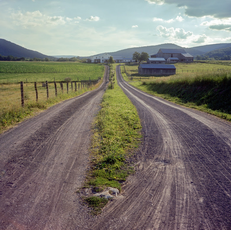
A short and sweet bikepacking from last winter. Back roads, snowmobile trails, and some singletrack. It was mostly rideable with 3-5 inches of snow and 3 inch knobby tires. There were 5 miles on a high traffic road with a good shoulder.  Camping in Hearts Content rec area (there are shelters). My coldest night ever with a temperature of 15  ° F (- 10  ° C). 50% paved, 40% unpaved/snowmobile trails, 10% singletrack. One of the first snowmobile trails. The Allegheny National Forest is literally littered with oil wells. Skies loaded with snow. Tanbark trail at night. The reflective blazes definitely helped. It was cold! More fresh snow in the morning. Then the sun peeked out. The last descent down Bobbs Creek Road was awesome. Almost done--clear skies.

Rothrock Gravel Overnighter

Image
An 80% gravel route in Rothrock Forest. Nothing difficult, mostly well-maintained gravel roads, some back country roads mostly traveled by Amish buggies, and just a little bit of higher-traffic roads to connect things around.  The campsite indicated in the map is unimproved and can be reserved for free. Click on a picture to enter a slideshow mode. Roads and tracks of Amish buggies Forest Lake/boats Lake/boats 2 The average road Body Shop Vacation house Road in Amish Country Scarred road in Amish country Viewtower Silo

West Virginia Bikepacking - Lots of Singletrack - SUCCESS!

Image
Caution: Bushwacking content. This is a good final route after some exploration--and failures--in the past. It is a heavy singletrack route. The terrain is steep and rocky at times, with at least half mile of hike-a-bikes, constant brushing with rhododendrons, and countless logs to hop. But all this effort will take you through very remote and pristine areas. Expect no phone coverage for 95% of the time. I marked all trailheads as well as some camping options. There is water pretty much everywhere along the trail, even in summer. Paved 25%, gravel/doubletrack 50%, singletrack 25%.   Need to know: A small section (50 feet) of the Allegheny trail south of Gladwin is washed out. You need to go down into the river, which is possible only if the water level is low. This is followed by a long high-a-bike. There is a possible detour on Granville Good Road. I rode this on a 29+ hardtail. I poked a hole in my sidewall on a rock, first time that happened to me. I saw a bear on the trail, he was

West Virginia Bikepacking FAIL

Image
I set out on a overnighter on my mountainbike in West Virginia, starting next to St. George and planning on 55-60 miles with mostly gravel and some rough trails on day one (clockwise in the map below). Everything started smooth with the usual amount of hike-a-bikes and brushing against mountain laurels in the tight trails.   My dreams of an early dinner were shattered when I turned into Limerock trail No 142, which was supposed to be a fun 4.5 miles downhill from the rim to the bottom of the Blackwater Canyon. The first two miles were actually a blast, with flowy sections and doable rock gardens. But then things went south and all these things happened in too rapid succession: - I lost a water bottle - I went over the bars and the bike fell over me - I had to drag my loaded (carbon) bike over three slippy rocky waterfalls--luckily I just chipped away some paint. It was beautiful though (picture proofs below) - my right shoe fell apart - the trail disappeared into shrubs and gardens of